
How to Build a Seoul Itinerary by Subway Line and Cut Unnecessary Transfers
A practical, map-aware guide to how to build a seoul itinerary by subway line and cut unnecessary transfers.
Quick answer
Group stops along the same subway corridor (same line or parallel lines with a short walk) and build a simple spreadsheet that lists station + exit, walking minutes, opening window, planned arrival, and a nearby backup stop. Use walking and transfer buffers to avoid rushed transfers and mark any time-sensitive checks (last train, closures, reservations). Plot and preview alternatives in the naver kakao map planner before you lock the day. Verify transport cards and airport options at official sources before travel [1] [2] [3].
Why plan by line and corridor
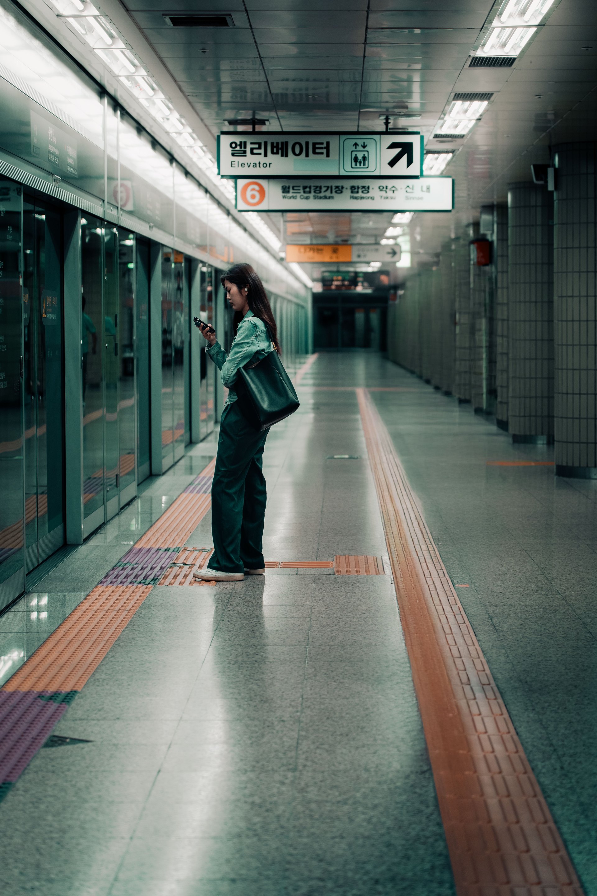
Seoul’s subway is dense but many popular sites cluster along one or two lines. Designing days by corridor keeps transfers minimal: pick a primary line, find 3–6 stops on that line that form a sensible walking sequence, and fill gaps with short cross-line walks only when necessary. This reduces both walking fatigue and the number of vertical transfers (stairs/escalators), which are the biggest time sinks in Seoul’s stations.
Evergreen strategy: group by corridor, prioritize exits with shortest walks, and assign a backup stop within 10–20 minutes’ walk. Time-sensitive facts: station access points, elevator locations, last-train times, and venue opening hours should be confirmed before travel.
Step-by-step spreadsheet workflow
Create a simple spreadsheet (Google Sheets or Excel). Add these columns in this exact order for clarity: - Day / Sequence (Day 1, Stop A, Stop B…) - Station name + station code (Line number) - Exit number to use - Latitude / Longitude (linkable to map) - Walk time from exit to attraction (minutes) - Attraction opening window or best visit window - Planned arrival time - Buffer before attraction (minutes) - Transfer needed? (None / Same station / Cross-station / Short walk) - Backup stop (station name & exit) - Notes (elevator? steep stairs? reservation required?) - Status (Planned / Confirmed / Skipped)
Workflow: 1. Pick a corridor per day and list candidate stops from your map tool. 2. For each stop, estimate walk time to the attraction using the planner and enter it. 3. Assign a planned arrival and add a buffer (see next section). 4. Mark a backup stop that is on the same line or within a short transfer. If none exists, pick the closest bus stop or taxi-ride option. 5. Use colors or filters to flag time-sensitive checks (reservations, last train). 6. Export or print a one-day summary for quick reference.
Link the station coordinates to the naver kakao map planner so you can open transfers quickly on your phone.
How to set transfer and walking buffers
Buffers are planning choices, not fixed facts. Recommended conservative defaults: - Walking to attraction: add +5–10 minutes to the mapped walk time for crowds or navigation. - Inter-station transfers: add +8–12 minutes for same-station transfers and +12–20 minutes for cross-station transfers (stairs, signage, crowding). - Venue arrival buffer: arrive 10–30 minutes after opening to avoid early queues or to catch a reserved time—check the venue’s policy. - Contingency buffer: keep an extra 30–45 minutes in your day for unexpected closures, service changes, or a late meal.
These buffers are strategy choices to reduce stress. Always verify last-train schedules, station accessibility, and venue reservation rules before you travel.
Choosing between direct-line days vs. mixed-line days
Use the table below to decide whether to keep a day on one line or mix multiple lines.
| Choice | Best when | Trade-offs |
|---|---|---|
| Single-line day | Most stops physically on the same line or short parallel walking corridor | Minimal transfers, simpler navigation; may limit diversity of neighborhoods |
| Mixed-line day | Attractions are geographically clustered but require short cross-line walks | More flexibility, covers varied areas; needs more buffers for transfers |
If you choose a mixed-line day, order visits to minimize backtracking and pick primary-transfer stations with clear signage or elevators. Always add a backup stop for each major attraction in case of temporary closure.
Contingency plan (short checklist)
- Mark one backup stop per attraction that can be reached with a single alternative line or a short bus/taxi ride.
- If a station is closed or a line suspended, re-open the planner and find the nearest parallel corridor — often the quickest fix is a short bus or a single taxi ride across the river rather than multiple subway transfers.
- Keep a charged phone and the map planner link readily available. Offline map screenshots for each day are useful if mobile data becomes unreliable.
- If a reservation window is missed, prioritize your backup stop; de-prioritize non-reserved activities.
Remember to confirm service advisories, last-train times, and any reservation rules before the day — these are time-sensitive and can change.
SeoulSheets connection
Turn your spreadsheet into a reusable SeoulSheet by saving one template with the fields above and copying it for each day. Use the naver kakao map planner to pin each station and to capture walking minutes and alternate routes; then paste the coordinates into your sheet. For deeper step-by-step neighborhood mapping, consult the practical guide at /blog/seoul-route-planner-neighborhood-map-link-backup-stop which explains how to pick backup stops and link neighborhood clusters on a printable map.
If you want to save time before departure, create two versions: Active (with live checks flagged) and Archive (finalized itinerary). Leave an empty “Buffer slot” row at the end of each day to absorb overruns.
Final take
Plan days by subway corridor, not by attractions listed on a neighborhood map. Use a simple spreadsheet with station + exit, walking minutes, buffers, and a backup stop for every attraction. Preview each day in the naver kakao map planner, flag time-sensitive items for last-minute checks, and keep a straightforward contingency plan so one closure doesn’t derail the whole day. Verify fares, station access, airport connections, and operational advisories with official sources before travel.
Add it to your working plan
Record the operational choice and its buffer in the Naver and Kakao map planner before you treat it as fixed. Pair that row with the Seoul route planner guide so your route and contingency notes stay together.
Official checks: